NWS Warning Hierarchy: Decoding Storm Alerts
By StormAuditor Editorial Team · Published 2026-07-22 · Updated 2026-09-23
Based on public NOAA and National Weather Service records, published under StormAuditor's methodology and data-source standards. Radar-derived hail sizes are estimates unless attributed to a ground report.
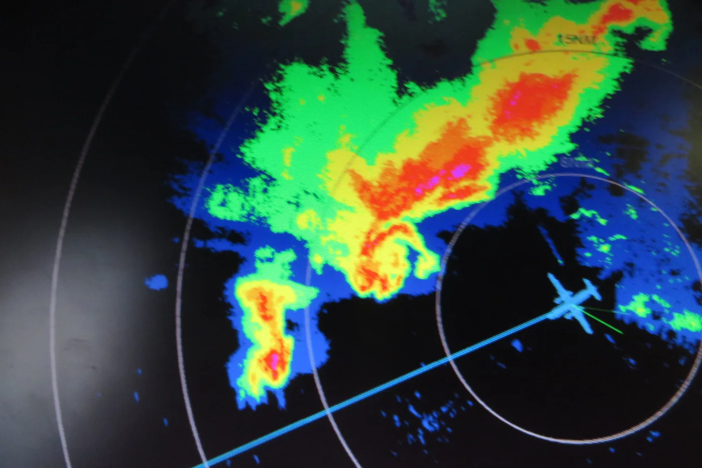
Damage-threshold ranges in this article are general guidance synthesized from industry and federal research — IBHS building-performance research, NWS severe criteria, and product standards such as UL 2218 (hail impact resistance) and ASTM D3161/D7158 (shingle wind ratings). Actual performance depends on product rating, age, installation quality, exposure, and impact characteristics — thresholds describe when damage becomes possible, not when it occurs.
The National Weather Service (NWS) issues a hierarchy of alerts – Watches, Advisories, and Warnings – to communicate escalating threats from severe weather. Understanding these distinctions is crucial for safety and for interpreting historical storm data with tools like StormAuditor.
When severe weather threatens, the National Weather Service (NWS) uses a standard set of alerts. They inform the public and emergency managers. This NWS Warning Hierarchy has three levels: Watches, Advisories, and Warnings. It tells you how likely and how severe each threat is. Property owners, contractors, adjusters, and attorneys who research past storms need this system to read storm reports and judge likely impacts.
What Are NWS Watches, Advisories, and Warnings?
- Watch: Conditions favor severe weather in or near the area, usually within the next few hours. A Watch does not mean severe weather is happening. It means stay alert and have a plan ready. For example, a Severe Thunderstorm Watch means conditions could support storms with hail 1.00 inch or larger, or gusts of 58 mph or more.
- Advisory: Weather that is a nuisance, but not life-threatening if you take care. Examples are Dense Fog, Frost, or raised Fire Weather conditions. These are not tied to severe hail or wind. Still, they add useful context on the overall weather.
- Warning: Severe weather is about to happen or is already happening in the area. This is the highest alert level. Act now to protect life and property. A Severe Thunderstorm Warning means a storm is producing, or is expected to produce, hail 1.00 inch or larger, or gusts of 58 mph or more. A Tornado Warning means a tornado has been seen or shown by weather radar. That is an immediate threat.
This system allows a step-by-step response. People get time to prepare (Watch), take care (Advisory), or take shelter right away (Warning).
How StormAuditor Uses NWS Warning Data
NWS/NOAA severe weather warnings are a core data source for StormAuditor's weather history reports. We archive warning areas (polygons) and the details of when and how each was issued. This is the official alert record for any place and time.
When you use StormAuditor's Address Lookup tool, we check whether your property was inside a warning area. A property inside one was under a WARNING, but did not always get the peak conditions. Warnings cover an area and a time window. They show risk, not a sure impact.
StormAuditor blends warnings with other data:
- SPC storm reports: hail sizes and wind gusts seen by people.
- MRMS MESH (Maximum Estimated Size of Hail), through our Hail Explorer.
Together, these give a detailed picture of the weather on a specific date.
Wind. Our SAWE-2 (Storm Auditor Wind Estimate) method starts from the NWS analysis of record (URMA) for each day's peak gusts. We then check that background against gusts measured at ASOS/AWOS stations and NWS LSRs (Local Storm Reports) marked as measured. This helps us estimate wind in and around warned areas.
Hail. Our SAHE-2 (Storm Auditor Hail Estimate v2) works in a similar way. Its main hail size is the MRMS MESH estimate for the ~1-km radar cell the property sits in. SPC hail reports and severe thunderstorm warnings then back up that estimate.
Practical Guidance for Researchers and Property Owners
Anyone doing date-of-loss weather research needs to understand these alerts:
- Property owners: Was your property under a Severe Thunderstorm Warning or Tornado Warning? If so, severe conditions were quite likely. A warning does not prove damage. It does support the potential for severe hail (1.00" or more) or gusts (58 mph or more). Use StormAuditor to check the hail swaths and wind estimates for your address.
- Contractors and adjusters: Warning status gives key context for checking a claim. A property inside a warning area deserves a closer look. Hail damage to asphalt shingles often starts around 1.00" to 1.25". On aged or poorly fastened asphalt roofs, shingles can lift with gusts of 46–57 mph, and shingle loss is possible from 58 mph. Use the StormAuditor Hail Explorer and Wind Explorer to see quickly if and where warnings were issued near a property.
- Attorneys: NWS warnings are direct evidence that a specific hazard threatened an area. Pair them with detailed StormAuditor data, like radar MESH or SAWE-2 wind estimates. That can support arguments about how likely storm damage was. StormAuditor gives estimates, not legal proof of what caused damage.
Full weather history reports, like StormAuditor's, take you further. You move from the general threat in a warning to estimated conditions at the property's exact location.
Limitations
NWS warnings are essential, but they have limits:
- A warning covers an area, and conditions can vary a lot inside it. A property inside a warning was under threat, but may not have had the most extreme conditions.
- Radar hail estimates like MESH can under-estimate wet hail. They can over-estimate in very strong reflectivity cores.
- Wind stations often miss local microbursts. Peak gusts between stations can be higher than reported.
- StormAuditor gives estimates, not measurements. We do not give legal, insurance, or engineering advice, and we do not claim to prove what caused damage. We give carefully sourced weather history: every value traces to a public NOAA/NWS record.
Related StormAuditor Tools
- Address Lookup: Get a property-level weather report with warnings, hail, and wind estimates.
- Wind Explorer: Explore statewide wind gust and warning history.
- Hail Explorer: See statewide MRMS MESH swaths and SPC hail reports.
- Methodology/Wind: How SAWE-2 estimates wind.
- Methodology/Hail: How SAHE-2 estimates hail.
- Data Sources: The full list of our weather data providers.
FAQ
Q: What is the difference between a Severe Thunderstorm Watch and a Severe Thunderstorm Warning?
A: A Watch means conditions favor severe thunderstorms (hail 1.00" or more, or winds 58 mph or more) over the next few hours. A Warning means severe thunderstorms are about to happen or are happening. It calls for action now.
Q: How do NWS warnings help me understand past storm damage?
A: They are official records that an area was under a significant threat at a specific time. If your property was inside a warning, that strengthens the case for checking for storm damage. StormAuditor adds estimated hail sizes and wind gusts at your location.
Q: Can StormAuditor tell me from the warnings whether a storm damaged my roof?
A: StormAuditor shows the objectively estimated weather at your location, including NWS warnings. We give estimates of hail size and wind gusts. We do not give legal, engineering, or insurance advice, and we do not confirm what caused damage. That takes a qualified inspection.
Q: What does the NWS call "severe" for hail and wind?
A: Hail is "severe" at 1.00 inch (quarter size) or larger. Wind gusts are "severe" at 58 mph (50 knots) or more.
Q: Where can I find past NWS warnings for my property?
A: Use StormAuditor's Address Lookup tool to find past NWS warnings for your address. We build this official record into our weather reports.
Q: Are NWS warnings always accurate about what happened at my house?
A: Warnings outline an area under threat. They are very accurate at finding areas at risk. But the peak conditions (like the largest hail or strongest wind) may not occur evenly across the whole warning area. StormAuditor's other sources (like MESH and SAWE-2) give more detailed estimates for specific places inside those areas.