Storm Corridors of West Virginia: Kanawha Valley to I-79
By StormAuditor Editorial Team · Published 2026-08-31 · Updated 2026-09-23
Based on public NOAA and National Weather Service records, published under StormAuditor's methodology and data-source standards. Radar-derived hail sizes are estimates unless attributed to a ground report.
Damage-threshold ranges in this article are general guidance synthesized from industry and federal research — IBHS building-performance research, NWS severe criteria, and product standards such as UL 2218 (hail impact resistance) and ASTM D3161/D7158 (shingle wind ratings). Actual performance depends on product rating, age, installation quality, exposure, and impact characteristics — thresholds describe when damage becomes possible, not when it occurs.
West Virginia's storms follow its terrain. Twelve months of data show 5,725 events stacking along three corridors: the Kanawha Valley, the I-79 line, and the Ohio River side — with radar-estimated hail to 2.54 inches and estimated winds to 88 mph.
On December 30, 2025, wind estimates over West Virginia peaked at 88 mph. Six months later, on July 4, 2026, radar-estimated hail reached 2.54 inches. Between those bookends, StormAuditor logged 5,725 storm events across the state's 55 counties in twelve months. Those events did not spread evenly. They stacked along the valleys.
Where West Virginia's storms concentrate
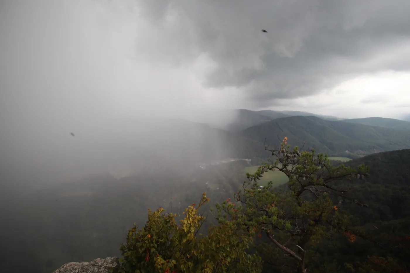
Terrain shapes this state's weather record. Storm cells tend to track along river valleys and lower corridors rather than the high ridges. The county totals reflect that pattern in three distinct bands.
The Kanawha Valley and southern coalfields
Kanawha County posted 260 events in the trailing twelve months, the most of any county. Of those, 117 met NWS severe criteria — gusts of 58 mph or more, or hail of 1.00 inch or more. Boone followed with 170 events, and Logan with 157. Jackson, just downriver, added 152.
The nine-month detail window tells the same story at street level. Kanawha tied for the state lead with 14 detailed events, including radar-estimated hail to 1.75 inches. Boone and Logan each recorded 10. Mingo added 9 and Wayne 8, extending the band toward the Kentucky line. Raleigh, on the plateau above the valley, logged 11 events with estimated winds to 56 mph.
The I-79 corridor
A second band runs up the center of the state. Harrison County recorded 216 events, with 94 at NWS severe criteria. Lewis, its neighbor, posted 203 events — and 109 of them met those criteria. Upshur added 156 and Randolph 159. For a corridor of smaller towns, that is a dense stretch of storm activity.
The Ohio River side
Wood County matched Kanawha with 14 events in the nine-month detail window. Its largest radar-estimated hail came in at 1.50 inches. Jackson County, between Wood and the Kanawha Valley, appears in both top-county lists. Storms crossing from Ohio often make first landfall in this band.
The days that built the totals
A few calendar days did outsized work. August 16, 2026 produced 465 events in a single day — flood, hail, tornado, and wind types all appear. July 21, 2026 brought 431 events plus radar-estimated hail to 2.51 inches. August 11, 2026 added 384 events and estimated gusts to 80 mph.
Winter mattered too. December 19, 29, and 30 of 2025 produced estimated peak winds of 83, 82, and 88 mph. High-wind days here are not just a summer story.
By type over twelve months, wind led with 2,547 events. Hail followed at 1,805, then flood at 1,280 and tornado at 98. In the detail window, monthly counts climbed from 25 in February 2026 to 90 in May — the spring ramp adjusters know well.
How StormAuditor estimates it
StormAuditor screens the public weather record with two engines. SAWE-2 estimates wind exposure and SAHE-2 estimates hail exposure, wind from the NWS analysis of record (URMA) corrected with measured station gusts and reports, hail from MRMS radar estimates, with NWS warnings and spotter reports shown alongside. Every output is an estimate of what the record shows at a location — not a damage finding. The full approach is documented at Wind Methodology and Hail Methodology.
Using this if you work or live in one of these corridors
Start with the date, not the storm name. If a roof issue surfaced in Kanawha, Harrison, or Wood County, pull the estimated history for that exact address through address lookup. Compare what you find against the busy days listed below — a match narrows your candidate date of loss fast.
Contractors canvassing the I-79 corridor can use county-level patterns to prioritize. Lewis County's 109 events at NWS severe criteria suggest a real concentration worth door-time. Adjusters researching a claim can ground a date-of-loss review in the same record, then request a free report snapshot for the specific property. Note the screening floor. StormAuditor screening flags events from 45 mph wind and 0.75-inch hail. Smaller events still show up in claims.
Notable storm days
- December 30, 2025 — statewide — estimated winds to 88 mph
- May 20, 2026 — statewide — radar-estimated hail to 1.99"
- July 4, 2026 — statewide — radar-estimated hail to 2.54"; 285 events
- July 21, 2026 — statewide — radar-estimated hail to 2.51"; 431 events
- August 11, 2026 — statewide — estimated gusts to 80 mph; 384 events
- August 16, 2026 — statewide — 465 events across flood, hail, tornado, and wind
Limitations
These figures are estimates of the public weather record, not statements about damage at any property. Radar-estimated hail sizes come from MRMS MESH and can differ from what fell on a given roof. That gap widens in steep terrain, where radar beams sit high above the valley floor. Wind values are peak estimates for an area, not readings at your address. Event counts depend on reporting density, which varies by county. Read the full discussion at Limitations.
FAQ
Which West Virginia county had the most storm events?
Kanawha County led the twelve-month window with 260 events, 117 of which met NWS severe criteria. Harrison was second at 216.
Did Kanawha County have hail in 2026?
Yes. The nine-month detail window shows radar-estimated hail up to 1.75 inches in Kanawha County. Statewide, the largest radar-estimated stone in the period was 2.54 inches on July 4, 2026.
What was West Virginia's strongest wind day recently?
December 30, 2025 tops the list, with estimated peak winds of 88 mph. December 19 and 29 of 2025 also produced estimates above 80 mph.
How big does hail need to be to count as severe?
The NWS severe threshold is 1.00 inch. StormAuditor screening starts lower, at 0.75 inches, because sub-severe hail still appears in real claims.
Where can I check a specific address?
Use the address lookup to see estimated wind and hail history for one property, drawn from the same record behind this recap.