URMA Wind Gusts: High-Resolution Wind Analysis Explained
By StormAuditor Editorial Team · Published 2026-07-14 · Updated 2026-08-07
Based on public NOAA and National Weather Service records, published under StormAuditor's methodology and data-source standards. Radar-derived hail sizes are estimates unless attributed to a ground report.
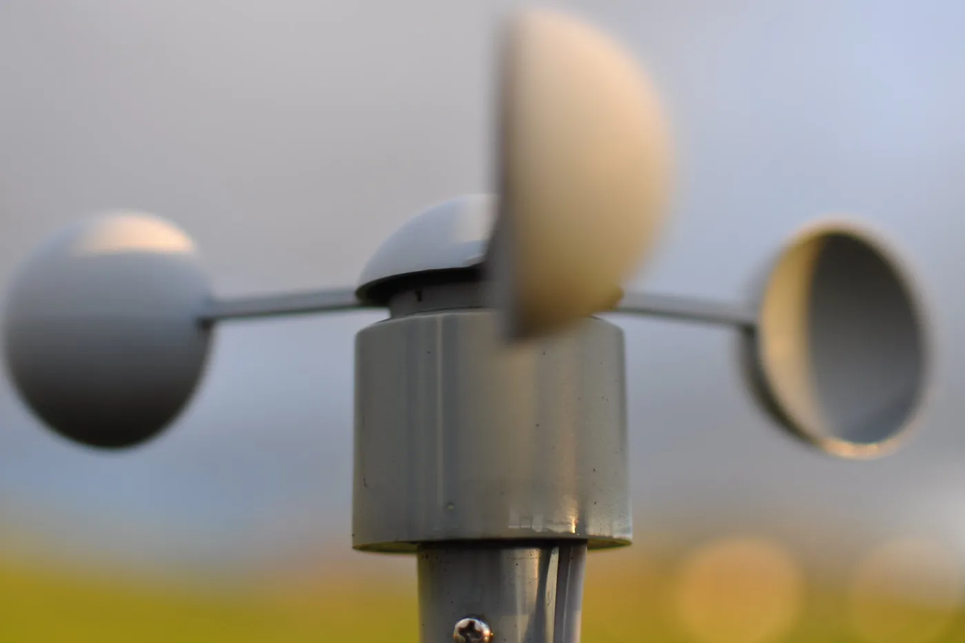
The Unrestricted Mesoscale Analysis (URMA) provides a high-resolution, frequently updated picture of wind gusts. StormAuditor utilizes this advanced meteorological product to help users understand past wind events for specific locations.
Why URMA matters for wind research
Wind gusts are short bursts of wind above the average speed. URMA, the National Weather Service's analysis of record for surface weather, estimates the peak gust on a 2.5 km grid across the United States, and StormAuditor starts every address-level wind estimate from it.
What URMA is and how it estimates wind gusts
URMA (the Unrestricted Mesoscale Analysis) is a meteorological analysis produced by NOAA's National Weather Service. It is the delayed, quality-controlled companion to the Real-Time Mesoscale Analysis (RTMA): it waits for late-arriving observations, then produces the official hourly analysis of surface conditions.
Key characteristics of URMA:
- Spatial resolution: a grid of about 2.5 kilometers, fine enough to separate neighborhoods that a coarser model would blend together.
- Temporal resolution: a new analysis every hour.
- Data assimilation: URMA blends surface observations — airport and mesonet weather stations — with a short-range model first guess, so each grid cell reflects both the model and the instruments near it.
For wind gusts, URMA analyzes the gust field every hour; StormAuditor takes the day's highest analyzed gust in each 2.5 km cell, then corrects it with measured gusts nearby. This is distinct from sustained wind speed, which is averaged over a longer period (usually 1 or 2 minutes).
How StormAuditor uses URMA data
StormAuditor's wind engine (SAWE-2.17) starts from the URMA gust analysis at the property's coordinates, then corrects it with nearby measured evidence — ASOS/AWOS station gusts and measured Local Storm Reports — weighted by distance. The result is an estimated peak gust for every storm date since October 2021 at any U.S. address.
Our wind reports present this in an accessible format, alongside the records behind each value, so you can:
- Find the peak gusts: see the highest estimated gust at a property for each storm date.
- Compare dates: see which storm dates produced the strongest estimated wind at the address.
- Check the evidence: compare the estimate with the station gusts and storm reports nearby, or open the Audit Report for the instruments and arithmetic behind a single date.
Our wind methodology explains how URMA is combined with measured gusts, and publishes the engine's blind verification statistics.
Limitations
- Analysis, not measurement: URMA is an estimate on a grid, not a reading at every point. Terrain, buildings, and trees make conditions at one spot differ from its grid cell.
- One value per cell: each 2.5 km cell carries one analyzed value; conditions at a single spot inside it can differ.
- Terrain: complex terrain changes local wind in ways a 2.5 km grid does not fully resolve.
- Data gaps: URMA has occasional data gaps and anomalies, as any large gridded dataset does.
StormAuditor corrects URMA with measured gusts from nearby instruments and shows that evidence with every estimate — see our data sources and Limitations pages.
Related StormAuditor tools
- Address Lookup: NWS warnings, storm reports, and station observations for any U.S. address.
- Wind Report by Address: estimated peak gusts at a property, by date.
- Wind Explorer: statewide daily maps of estimated peak gusts.
- Date of Loss Weather Research: find and document the storm date for a claim.
- Sample Report: an example Weather Report.
Frequently asked questions about URMA and wind gusts
Is URMA an actual wind measurement?
No. URMA is an analysis: it blends station observations with a short-range model forecast to estimate conditions on a 2.5 km grid. StormAuditor adds the measurement step — nearby station gusts and measured storm reports correct the URMA value at each address.
How is a wind gust different from sustained wind?
A gust is the peak speed in a burst lasting a few seconds; sustained wind is the average over 1–2 minutes. StormAuditor reports the estimated peak gust at the property for each storm date.
Can URMA show tornado or hurricane winds?
Yes for hurricanes and broad thunderstorm wind fields, which URMA resolves well. A tornado's core is usually narrower than a 2.5 km grid cell, so URMA understates peak tornado winds; for tornadoes, rely on NWS damage surveys and the EF rating.
How far back does StormAuditor's URMA-based wind data go?
Address-level wind estimates go back to October 2021. NOAA storm records on StormAuditor's city and state pages go back to 2010.
Why isn't URMA identical to a local weather station reading?
URMA estimates a 2.5 km grid cell; a station measures one point. Terrain, buildings, trees, and instrument height make a single station read higher or lower than its cell. That is why StormAuditor corrects URMA with nearby measured gusts instead of using either one alone.